
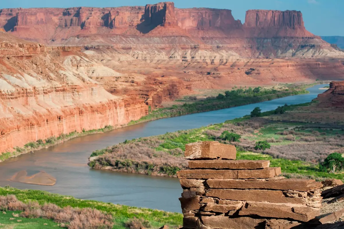
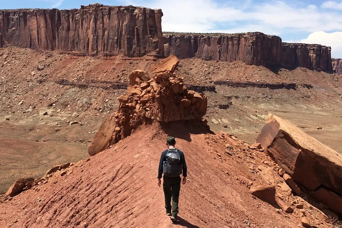
Photo: NPS
Canyonlands National Park (Island in the Sky), Utah
Fort Bottom Trail
4.8
Moderate↕️ Out & backDistance
3.4 mi
5.5 km
Elevation
+418 ft
127 m
Est. Time
~1h 55m
Route
Out & back
Free account
Unlock the full guide to Fort Bottom Trail
It's free. Enter your email and we'll send a sign-in link that brings you straight back here.
- Interactive trail map
- 3D flyover of the route
- Elevation profile
- Parking, fees & hiker tips
Already have an account? Sign in
Activities
🥾Hiking
Trail Features
🏔️Scenic Views
🚫No Dogs
🏛️Historic Site
💧River
🥾
Nearby Trails
Reviews & Ratings
Hiked Fort Bottom Trail? Sign in with your free account to leave a review.
Sign in to review0 Reviews
No reviews yet. Be the first to share your experience!
Get Directions
🌤️
at trailhead · updates every 2hTrail Conditions
50°F
Overcast
Good
2 mph wind
Tod51°29°
Tom47°33°
Tue48°32°
Wed47°37°
Thu52°39°
Fri53°41°
Sat53°44°
💡 Best times: early morning or late afternoon for cooler temperatures and softer light.
Trail Summary
Distance3.4 miles (5.5 km)
Elevation+418 ft gain
Route TypeOut & back
DifficultyModerate
Est. Time~1h 55m
Fuel Up Nearby
Grab food, gear, or a well-earned meal at one of Adventure Passports’s top local spots.
Browse Restaurants →